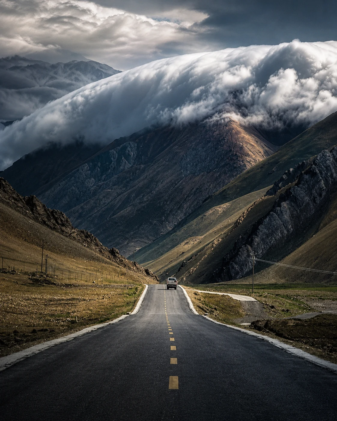
There are roads that simply take you somewhere. And then there are roads that become the destination. Sani Pass belongs firmly in the second category.
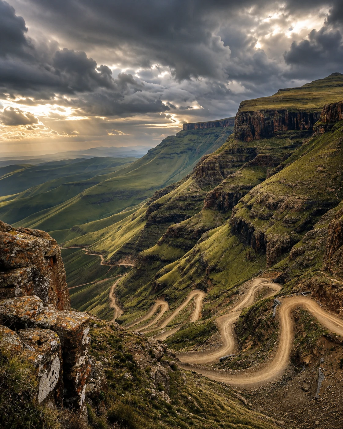
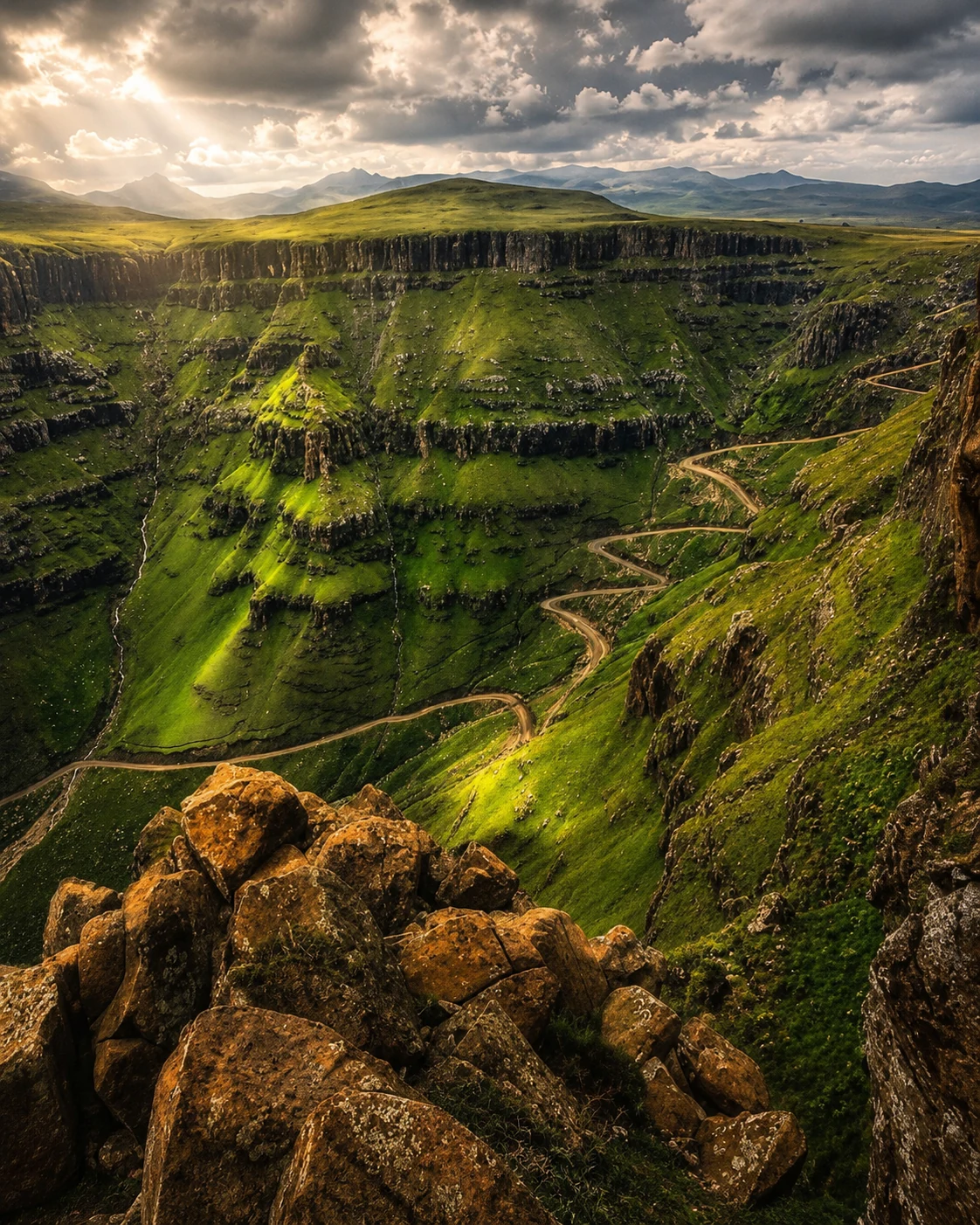
Rising out of the foothills of KwaZulu-Natal toward the mountain kingdom of Lesotho, Sani Pass appears almost impossibly carved into the side of the Drakensberg. The road twists back on itself in tight switchbacks, climbing through a landscape that becomes larger, colder and more dramatic with every turn.
Far below, the valleys become miniature. Ahead, the mountains seem to swallow the road. Somewhere near the top, driving stops feeling like ordinary transport and starts feeling like exploration.
A road into the sky
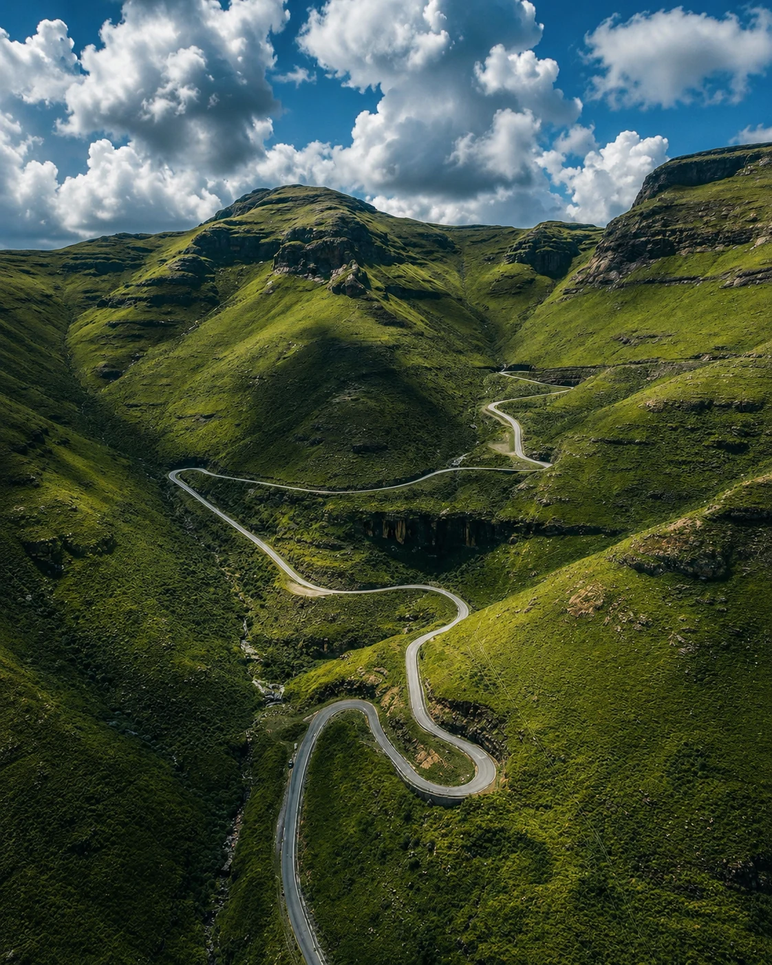
Sani Pass connects the Himeville and Underberg side of KwaZulu-Natal with the Lesotho Highlands and the road toward Mokhotlong. Its summit reaches approximately 2,876 metres above sea level.
The climb gains more than 1,300 vertical metres from the lower approach. On paper, those are simply measurements. Standing beneath the mountains, the scale makes the numbers feel almost meaningless.
A road disappears around a bend hundreds of metres above your head. A few minutes later you may find yourself driving across exactly that section, looking down at where you had just been.
The switchbacks are not merely spectacular engineering. They are the road's way of negotiating with a mountain that has absolutely no intention of moving.
Before the 4x4s came the pack animals
Sani's story did not begin with recreational four-wheel drives. Long before it became an adventure-driving icon, people were already using routes through these mountains. The modern history of the pass includes a pack-animal track created to improve access between Mokhotlong and the country below the escarpment.
Then came the motor vehicle. By the middle of the twentieth century, Jeeps were carrying people and supplies across the pass. Tourism followed, and Sani gradually developed the reputation it carries today.
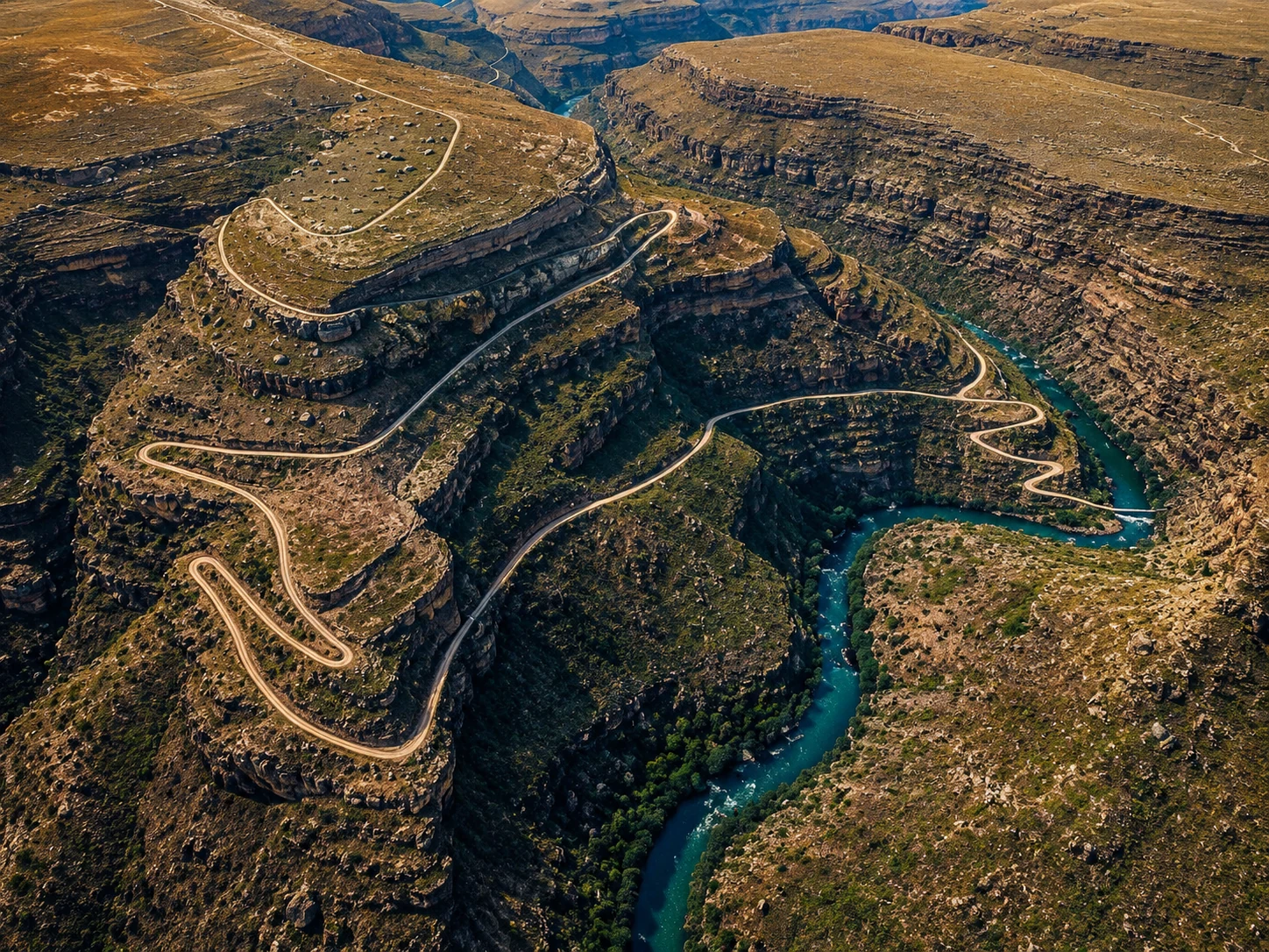
Sani is only one part of a much bigger story
When South Africans hear “Drakensberg”, we often picture the immense peaks along KwaZulu-Natal and Lesotho. That is only part of the story.
The Drakensberg forms the eastern portion of Southern Africa's enormous Great Escarpment — the geological edge separating much of the high interior from the lower country toward the east.
The escarpment continues north through Mpumalanga, where the mountains once again become spectacularly prominent. That is why familiar Lowveld landmarks belong in the same broader geographical story: Blyde River Canyon, the Three Rondavels, God's Window, and the Panorama Route.
The vast mountain wall rising above Sabie, Graskop and the Lowveld beyond is part of that same great eastern escarpment.
The Dragon changes its face
This may be the most beautiful part of following the Drakensberg northward. Around Sani and the Lesotho border, the mountains can feel almost alpine: immense slopes, high plateaux, basalt cliffs, racing cloud and winter snow.
Move north toward Mpumalanga and the escarpment changes character. High grasslands collapse toward warmer valleys. Forests cling to slopes. Waterfalls pour over cliff edges. Deep gorges cut into ancient rock and, beyond the escarpment, the landscape opens toward the subtropical Lowveld.
The contrast can be so dramatic that a drive down one of Mpumalanga's mountain routes feels like travelling between two countries. Above: cool grassland. Below: bushveld, citrus, heat and the road toward Kruger.
One of the finest examples is Long Tom Pass, where the road crosses the escarpment toward Sabie and the Lowveld. It deserves its own story — and it has already been given a permanent home in this series for that future feature.
More than beautiful scenery
The southern Drakensberg around the Lesotho border is internationally significant as well. The Maloti-Drakensberg Park is a UNESCO World Heritage Site extending across South Africa and Lesotho.
The region protects extraordinary natural landscapes as well as thousands of San rock paintings preserved in caves and shelters. Long before asphalt, differential locks, turbochargers and satellite navigation, people already knew these valleys and rock shelters intimately.
Sani is therefore not an untouched wilderness suddenly discovered by motorists. It is another chapter in an extremely old relationship between people and the mountains.
Why Sani matters to people who love roads
A great road is not necessarily the fastest road. Sometimes the greatest roads are the ones that make us understand where we are. Sani Pass does exactly that.
You feel the altitude. You see weather forming against the escarpment. You understand why the road twists instead of running straight. You realise why certain vehicles became legendary here. You see geography dictating engineering in real time.
That is what makes mountain passes fascinating. Their corners are not arbitrary. Their gradients are not decorative. Every hairpin exists because somewhere above it is a wall of rock and somewhere below it is a valley.
The road is a conversation between topography, engineering and human stubbornness — and few South African roads conduct that conversation as dramatically as Sani.
The road is changing. The mountain is not.
Sani Pass has seen road-upgrade projects intended to improve accessibility, safety and the important cross-border connection between South Africa and Lesotho.
That creates an interesting tension. For communities and trade, better roads matter. For travellers, part of Sani's mythology has always been its ruggedness. Roads evolve because they are infrastructure before they are tourist attractions.
Perhaps that makes photographing and documenting places like Sani even more important. The road we know today is simply one moment in a much longer story.
From Sani to the Lowveld
The next time you are driving through Mpumalanga, look at our familiar mountains a little differently.
Drive Long Tom Pass toward Sabie. Stand above the Lowveld at God's Window. Follow the cliffs around Blyde River Canyon. Then imagine that enormous mountain edge continuing southward, changing form as it crosses the country until it reaches the spectacular highlands surrounding Lesotho.
Somewhere along that geological journey lies Sani Pass, zigzagging toward the clouds.
Different province. Different road. Same great mountain story.
And that may be the most extraordinary thing about the Drakensberg: we do not simply visit it. Here in the Lowveld, we live beneath its shadow.